
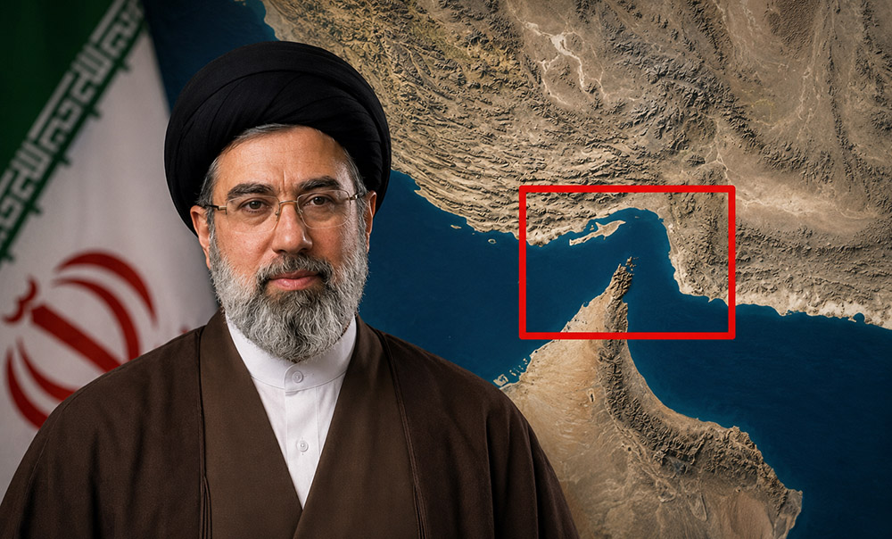
Kathmandu: The Strait of Hormuz is located between Iran and Oman. Its northern part lies toward Iran, while the southern part faces Oman. At its narrowest point, its width is only 21 nautical miles (about 39 kilometers).
Initially, the maritime territorial boundary of both countries was considered to be only up to 3 nautical miles. However, following changes in international maritime law, Iran in 1959 and Oman in 1972 extended their maritime boundaries to 12 nautical miles each (about 22 kilometers).
Following this decision, the narrowest part of the Strait of Hormuz fell entirely within the territorial waters of Iran and Oman. Nevertheless, to facilitate international maritime transit, a 2-nautical-mile-wide transit lane was established on both sides.
Since the outbreak of the conflict, Iran has argued that because the Strait of Hormuz lies within its and Oman’s territorial waters, it holds the authority to make decisions regarding security arrangements and transit in the area.
On May 4, Iran released a new map of Hormuz, showcasing its control over the narrow portion of the strait.
However, the United States holds a different view. The US asserts that the Strait of Hormuz is an international waterway and maintains that no country has the right to block commercial vessels passing through it. The US has even deployed its fighter jets to the region.
Currently, conflicting claims persist between Iran and the United States regarding control over the Strait of Hormuz. Iran has stated that it will not accept foreign military intervention, while the US has maintained that protecting the strait is its priority, as it is a crucial international route for global trade.












FACEBOOK COMMENTS